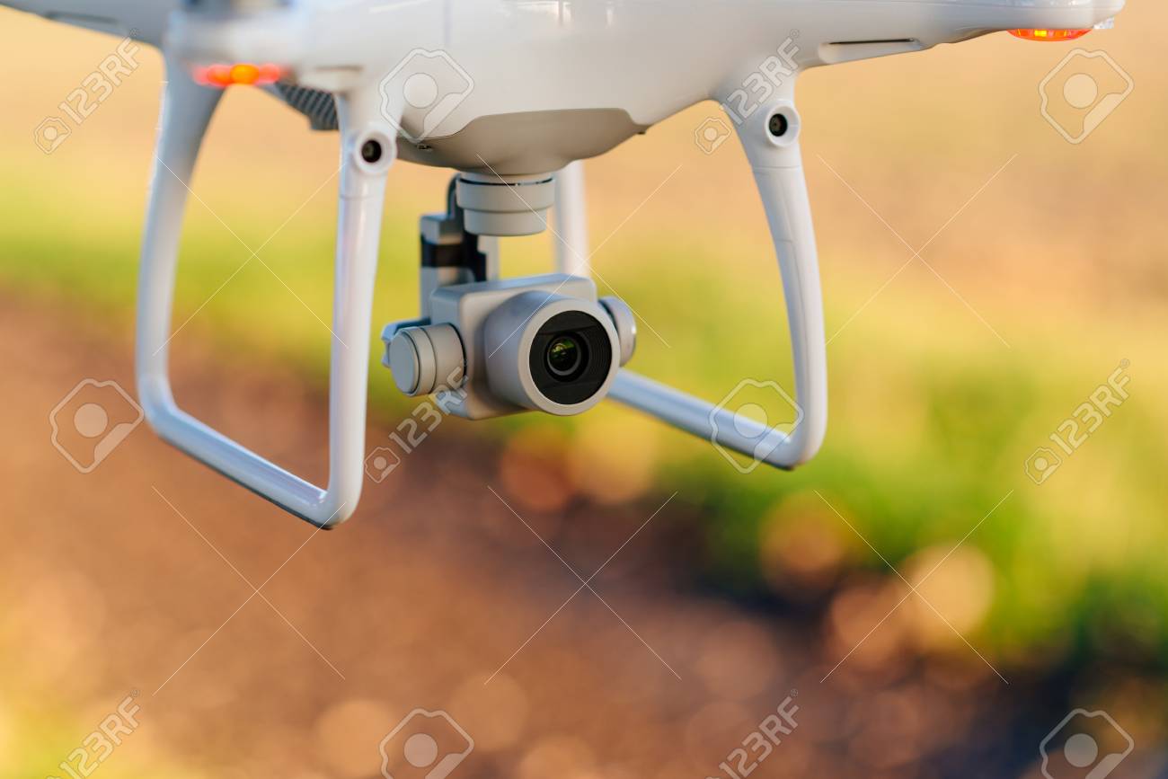
A Calgary-based group has formed to bring the vast store of aerial imagery from drones to everyone’s desktop. The Open Aerial Imagery Association (OAIA) is a not for profit group that wants to make the unique perspective that drone imagery offers widely accessible and free of charge. “With a volunteer-based roster of licensed aeroplane and RPAS pilots, OAIA flies private aircraft that capture aerial imagery which is then distributed through an online portal free of charge under a Creative Commons license,” the group said in a news release. “Be it a public, private, commercial or noncommercial user, their vision supports free use of the imagery for any purpose or project.” The group has the attention of the North Atlantic Treaty Organization (NATO).
NATO is sponsoring a four hour online seminar hosted by OAIA to be offered Nov. 25, Dec. 2, 9 or 16 starting at 11:30 a.m. Eastern. Free registration is available here. The seminar will explain how aerial imagery can be used to help organize humanitarian aid, how it’s useful for law enforcement to map crime trends and how it can be used to detect disinformation and hostile information. The seminar is open to citizens of all NATO countries and is part of a project called Increasing Societal Resilience: Innovative Ways to Counter Disinformation, Hostile Information, Activities and Other Hybrid Threats. “This is an event that can benefit a number of different groups including students and academics studying geospatial related topics, media reporters and influencers focusing on aerial imagery, the open-source intelligence community (OSINT) and so many more,” explains Chris Knight, Director of OAIA. “We’re thrilled to have an opportunity to educate, inform and share on this important subject matter.”